
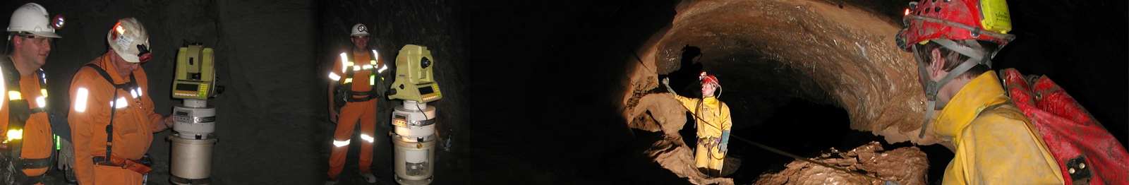
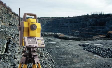
 City Surveys have a skilled land surveying department working out from various offices with access to latest Robotics total stations, GPS receivers and latest releases of surveying and engineering softwares, significant investment in the latest technology and software allows city surveys to produce high accuracy surveys in all digital formats either in2d or 3D for production of plans, sections and volume calculations.
Topographic Surveys are carried out for various site and conditions such as
• Roads/Highways
• Water industry
• Pipelines
• Airfields
• Industrial Expansion projects
City Surveys train their surveyors to process and finish their
own work, avoiding any communication problems between
surveyor and CAD operator and ensuring a swift turn
around.
© 2014 City Surveys Surveying & Mapping. All rights reserved.
Web Site Design And Developed By
 +971 2 4454532
  Abu Dhabi Branch

